Object Editor
I can be contacted at E-mail address:-
![]()
Object EditorI can be contacted at E-mail address:-
|
|
|
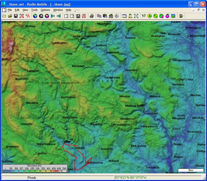
As a demonstration of the precise use of the Object Editor, the Route for the Ashbourne Half Marathon will be generated. This is contained within the area of my Base map.
(But don't miss the New Features here)
The Start point for the event lies on the road junction in the centre of the town. In order to locate this position accurately for a waypoint, a Zoomed picture of the central area of the town is generated. (Left click and drag to produce the Marquee box, then right click to zoom the area).
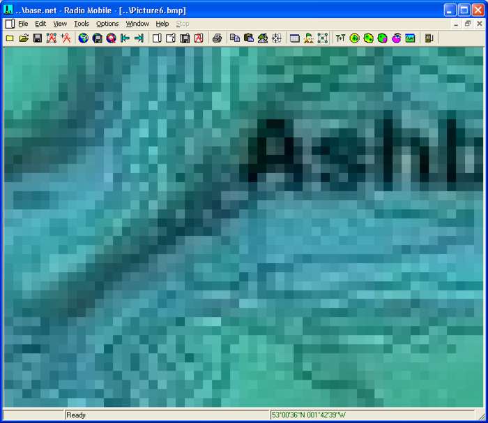
This can be seen to be low resolution elevation data plot, so this is Merged with Virtual Earth 'Roads' and 'Kept in picture' to produce a more detailed road map of the area:
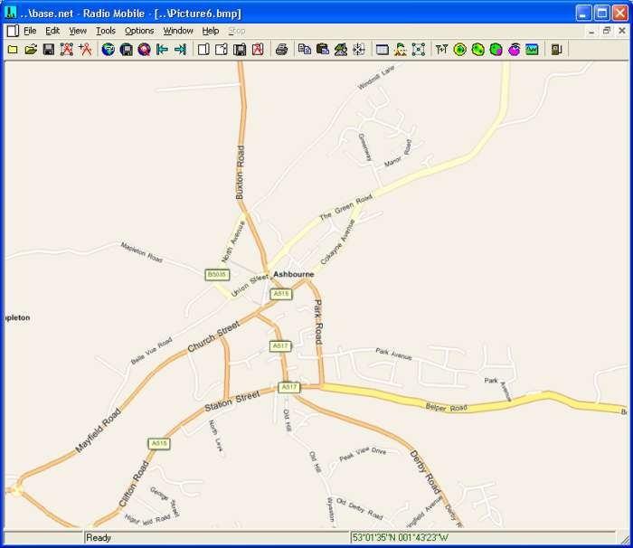
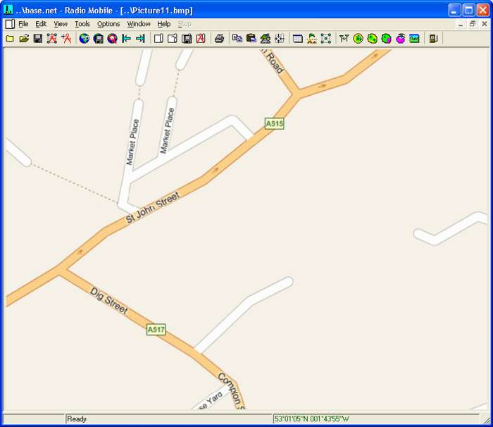
This however does not have enough detail, so a second zoom is performed followed by a further merge/copy to produce:
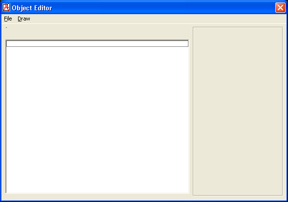
To access the Object Editor, Click on the toolbar icon
or open 'Tools/Object Editor' to produce this additional pane:
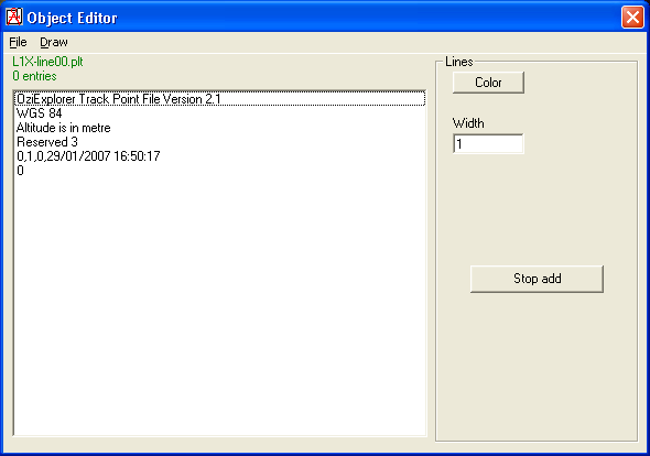
Selecting 'File/New Lines' then produces:
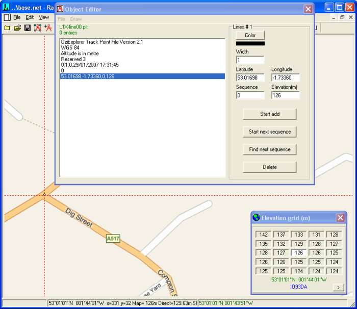
A click on the road junction now places the first (Start) waypoint in the precise location as shown.
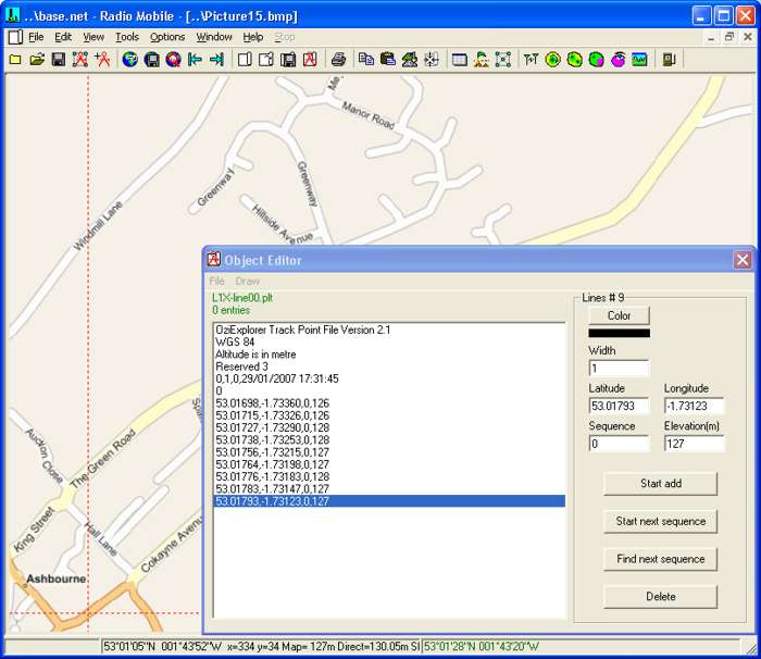
Further waypoints are then added by clicks within the confines of the zoomed picture, and then 'Stop Add' invoked and the picture closed.
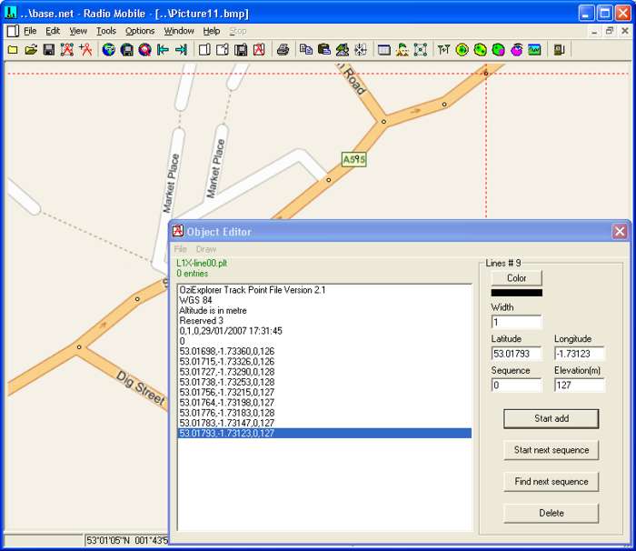
If a different overlapping area of the required route is then zoomed/merged, and the last waypoint clicked on the Object Editor pane, it will produce cross wires at its location on the new zoomed image:
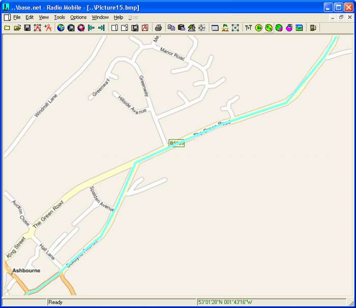
Pressing 'Start Add' then allows more waypoints on the route to be added, all lying on the road system. These need to be placed at bends as the route is taken as straight lines between waypoints. The following pane shows the route drawn over the road map in Blue at 5 pixel width between the generated waypoints. It should also be noted that when a Route is invoked, it can be drawn over a zoomed area as below.
This procedure is repeated over the whole route and saved for use. This Half Marathon Route is available as 'L1X-Half.plt'. The end of the event is on a local park, off the road system, so in this case a merge of an aerial photo with the zoomed area is suitable for generating the waypoints.
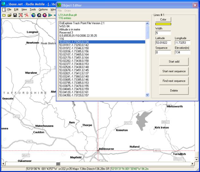
A further new feature of the Object Editor is the capability of opening - and editing - a previously generated plot file. Opening the 'Base 1200 bw' picture, and then using 'File/Load' selecting 'L1x-Ash-Bux.plt' file, the following pane is displayed:
The file opens with the first waypoint entry highlighted - and the cursor moves to its location on the road map.
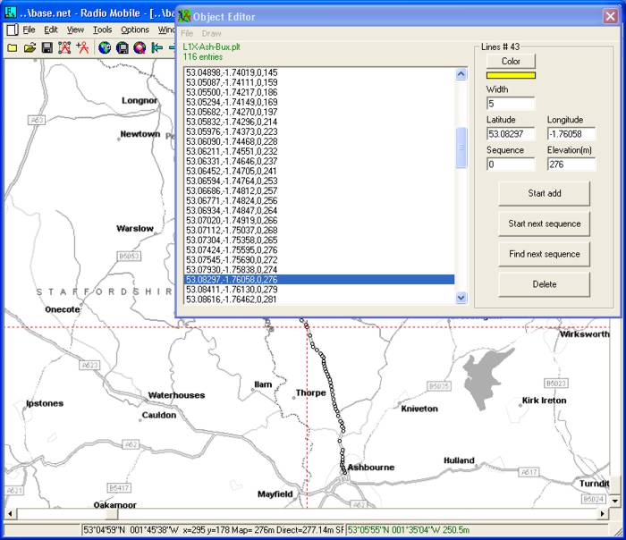
By using the up/down arrow keys, the highlighted waypoint can be changed, and at each location the waypoint is marked on the map. It will be noticed that the map centralises and rolls under the cursor as required during this operation.
At any position in the list, a click on 'Start Add' will allow a new waypoint to be inserted into the list - but don't forget to click 'Stop Add' when you have finished adding new waypoints! Any waypoint in the wrong location can be deleted when highlighted.
As a final check, clicking on 'Draw' produces a plot of the path on the map - in the colour and width selected. Waypoints can be superimposed on this path by highlighting them on the Object Editor pane if required.
The plot produced is volatile, and can be removed from view by 'Hiding Networks'. If you wish to retain in the picture perform an 'Edit/Copy' and 'Edit Paste' and then save the picture.
A new feature added in V 11.6.0 is a check box on the Object Editor pane which can disable the display of Waypoints when the Route is drawn.
This page is available in .pdf format here
Please keep checking back for updates and additions.
© Copyright G3TVU 26th October 2017
|